-40%
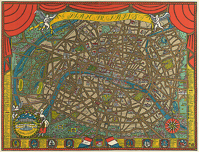
1927 Pictorial Map of Paris 11"x14" Wall Art Poster Print Artwork Decor Vintage
$ 6.6
- Description
- Size Guide
Description
Plan de ParisDetailed Specifications
This is a modern reproduction of the original map.
Map Size: 11"x14"
This map comes in other Sizes too:
16"x21" and 23"x30"
You can find them and more
Maps of Paris
,
in
Our Store
We also have more
Pictorial Maps
in
Our Store
Remember,
the smaller the map size, the smaller the print, that means it is harder to read the text!
All Our Posters and Maps Are Made in the USA
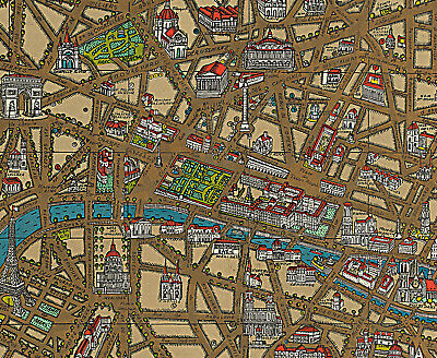
All of the principal avenues of the City are clearly depicted and appear heightened that enhances the sense of decorative "old style" luxuriance that pervades the whole composition. Title cartouche includes two winged cherubs hold a banner title top center whilst a pair of red curtains are drawn back to reveal a detailed plan of the City of Paris.
Map extending from Montmatre in the North to Chatillon, Bvd Jourdan and the vestiges of the southern City walls in the south, to Nanterre and Courbevoie in the West and Vincennes in the East, All of the major parks and gardens of the City and its immediate environs are equally attractively delineated with their trees and principal features.
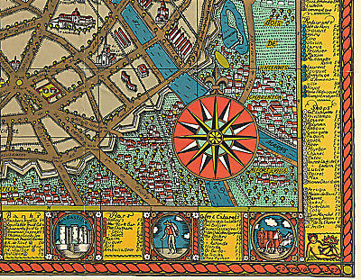
Shows historic sites and buildings in detailed three dimensional vignettes. A roundel inset lower left shows Marie Antoinette as a bucolic shepherdess beside a fine view of the gardens and facade of the Chateau of Versailles, and compass rose on the lower right.
Index panels to the left and right sides of the map as well as the bottom denote the principal monuments, museums, churches, and sites of historic interest, as well as shops, bookshops, art galleries, banks, bars and restaurants.
The lower border of panels showing historical scenes.
This map comes with a white border around the image
---------------------------
-How are the prints shipped?
They are rolled and placed into a rigid tube.
-Is this available in a larger/smaller size.
Yes. For smaller or larger sizes, email us.
